We help councils capture, understand, and act on their road data with confidence.
RACAS® combines AI-driven insights with practical engineering expertise, so every kilometre you drive becomes better evidence, smarter decision and real outcomes for your community.
Anyone can sell you software. SHEPHERD gives you software backed by engineers – so you get decisions you can stand behind and results you can see.

Why Councils Choose RACAS®
Managing a vast road network isn’t easy – tight budgets, rising expectations, and constant pressure to justify every decision.
RACAS® cuts through the complexity and focuses on what counts. It gives councils clear evidence, transparency, and the confidence needed to plan smarter, inspect safer and deliver better outcomes for their communities.

A Smart Investment
for Your Network
RACAS® delivers real, quantifiable savings across multiple areas of Council operations:
DRFA Funding Confidence
Defensible pre- and post-event evidence strengthens claims and accelerates approvals.
One eligible event can offset the full RACAS® subscription costs.
Reuse Data Across Teams
Finance, engineering, GIS, compliance, and customer service teams all benefit from the same dataset.
With RACAS®, every kilometre captured delivers value – not just once, but across your entire organisation.
Inspection Efficiency
30–50% labour savings when switching from manual inspections to RACAS® surveys.
Targeted Maintenance = Real Savings
Reduce unnecessary grading, avoid reactive work, and deploy crews where they’re needed most.
Valuation & Capitalisation Support
Use RACAS® imagery and spatial data to align works with the asset register, reducing audit pressure and rework.

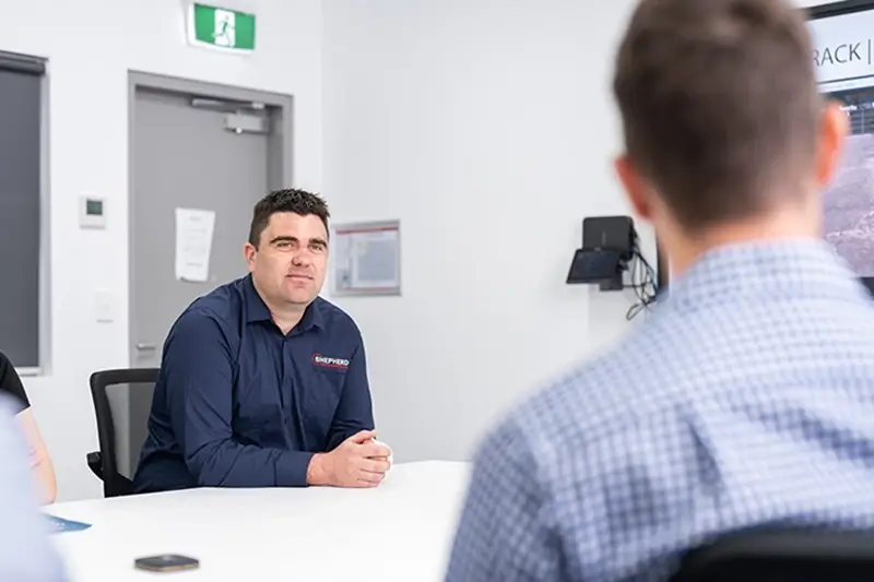
Why Councils Trust SHEPHERD
We’re road managers, not just software providers.
Behind RACAS® is a large, multidisciplinary team of engineers, asset accountants, GIS specialists, inspectors, and DRFA practitioners with deep experience working with regional and remote councils.
We understand your operational pressures, your budgets, and your community.
You don’t just get software – you get practical support from people who know roads and know council.
What RACAS®
Delivers for
Your Network
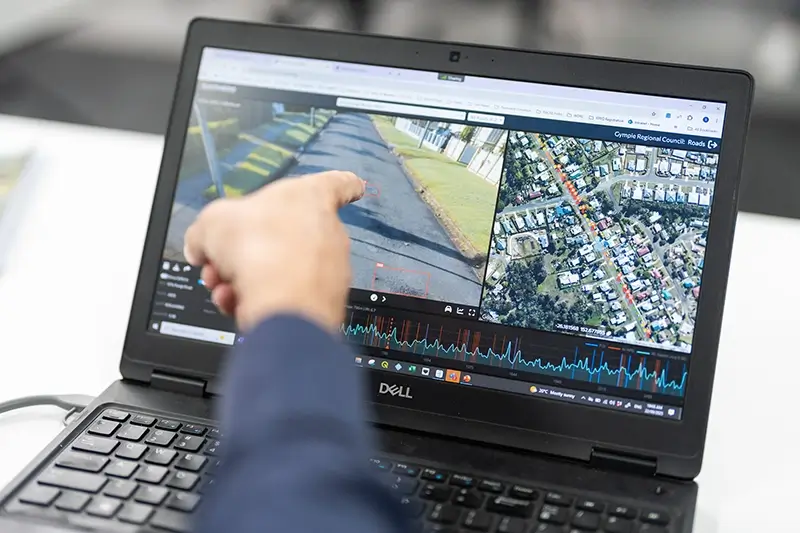
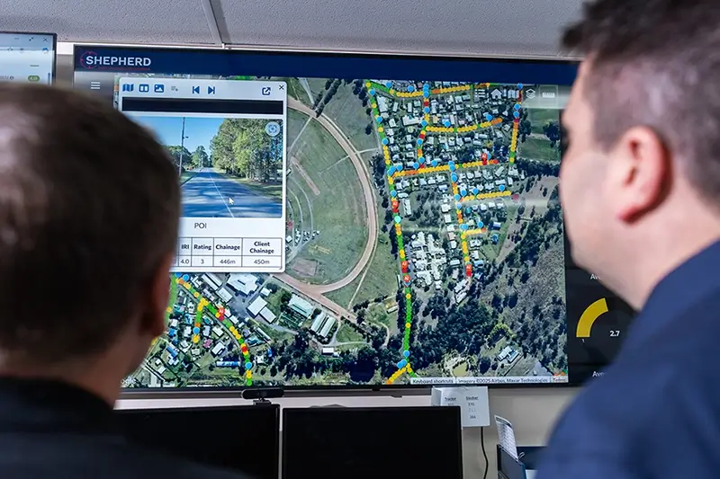
Clear, defensible road data
RACAS® gives you high-resolution imagery, roughness readings, and AI-supported insights – captured in real time as you drive the network.
This becomes your single source of truth, supporting everything from risk management to funding submissions.

Faster, safer field operations
Replace hours of manual inspections with efficient drive-by surveys.
Your team stays in the vehicle, improving safety and freeing up time for higher-value work.
Better budgets and planning
RACAS® supports accurate forward works programs, maintenance plans, valuations, and long-term financial models.
You justify investment and optimise limited resources with confidence.
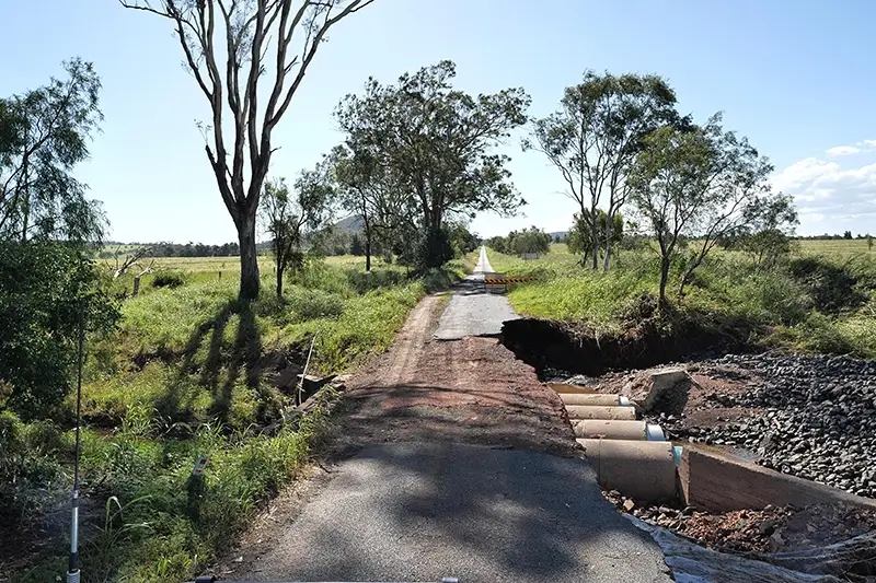
Stronger disaster readiness and recovery
Capture pre-condition road evidence to strengthen your DRFA claims.
Post-disaster, RACAS® identifies and documents damage rapidly – giving your team the clarity they need to respond quickly.

Organisation-wide collaboration
Finance, engineering, customer service, and executives all work from the same dataset, reducing friction and improving internal decision making.
Explore the RACAS® Toolkit
A flexible suite of tools that grow with your network and your team.
Explore RACAS® features
A flexible suite of tools that grow with your network and your team.
Experience RACAS® in Action
RACAS® is best understood by seeing it – not just reading about it.
Let our team walk you through the RACAS® experience and show how it can support your network, your challenges, and your community.
SHEPHERD are prequalified suppliers on the following arrangements:
- Asset Management Services – Local Buy LB347
- Disaster Recovery Management – Local Buy LB505
- Engineering and Environment (Consultancy Services) – Local Buy LB312
- Planning, Surveying, Design & Architecture – Local Buy LB335
- Project Management & Superintendent Services – Local Buy LB343
- Local Government Procurement – Professional Consulting Services LGP1208-4
- NSW Asset Ai
- Tasmanian Dept. Treasury and Finance – Strategic Asset Management
- Tasmanian Dept. Treasury and Finance – Management of Projects
SHEPHERD are also endorsed as an:
Authorised user of