Project Overview
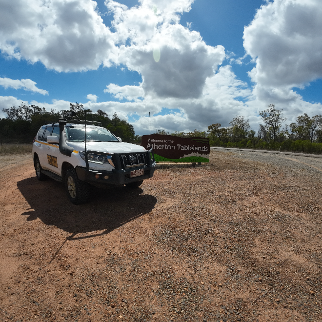
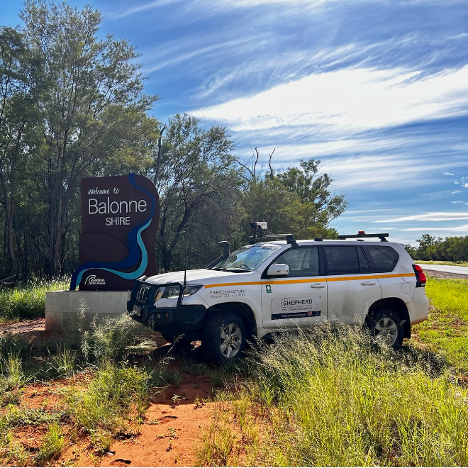
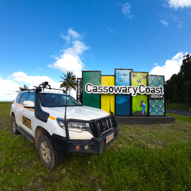
Over a two-year partnership, SHEPHERD worked with Queensland Parks and Wildlife Service (QPWS) to assess and condition-rate more than 1,490 kilometres of unsealed road across 30+ national parks, islands, and remote conservation areas. QPWS now have a comprehensive, consistent view of their road assets – empowering better valuation, clearer access planning, and more targeted response in disaster-impacted zones.
Scope of Work
- Road condition assessments for unsealed access tracks, park roads, and marine/island networks
- Coverage included Stradbroke Island, Boodjamulla, Curtis Island, Thursday Island, Norfolk Island, and dozens of mainland park sites
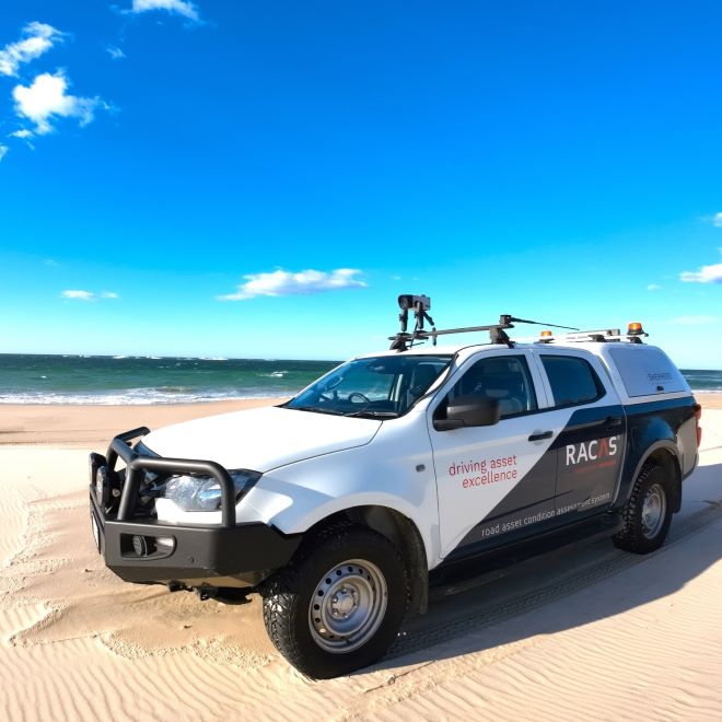
- Surveys conducted using RACAS®
- Integration with Parks’ internal systems for revaluation and future maintenance programming
Key Stats
📍 1,490km surveyed over two years
📍 326km captured in 2025 alone
📍 30+ park and island locations
📍 1 consolidated condition dataset across the QPWS road network
📍 Condition ratings aligned with valuation needs and DRFA evidence
Project Outcomes
✅ Asset Revaluation Confidence
Detailed, consistent condition data for QPWS unsealed road assets ensured accurate and defendable comprehensive valuations.
✅ Maintenance & Capital Works Planning
Engineers and planners now have a clearer picture of where to invest in re-sheeting and repairs -especially across remote and seasonal access roads.
✅ Disaster Response & Recovery
In flood-impacted areas like Boodjamulla, RACAS® helped assess damage quickly after access was restored, supporting DRFA claims and fast-tracking recovery.
✅ Visibility Across the Organisation
From engineering to finance, QPWS staff now access a single source of truth for road condition -bridging gaps between technical teams and funding decisions.
📍 Project highlight:
A truly unique dataset capturing the scale and complexity of Queensland’s natural asset network-powered by RACAS®, delivered by local engineers, and trusted by QPWS.
RACAS® = Real Tech. Real Engineers. Real Results.

