
Greenfield Technical Services and SHEPHERD collaborated to support the condition survey of local government roads across the Pilbara and Gascoyne regions for the Western Australian Local Government Association (WALGA). The project captured a clearer view of Roads of Regional Significance and Remote Aboriginal Access Roads across eight councils, supporting better planning, reporting and funding decisions.
The Challenge
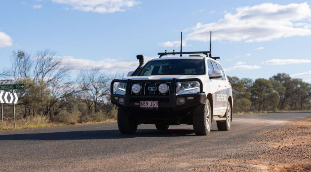
The Western Australian Local Government Association (WALGA) required condition data across a large and remote road network, spanning Roads of Regional Significance and Remote Aboriginal Access Roads across the Pilbara and Gascoyne regions.
The work involved eight councils and required a consistent method for capturing, assessing and reporting road condition in line with WALGA guidelines. Given the distance, remoteness and scale of the network, the project also needed a practical way to make the data accessible and useful across multiple local government areas.
The Solution
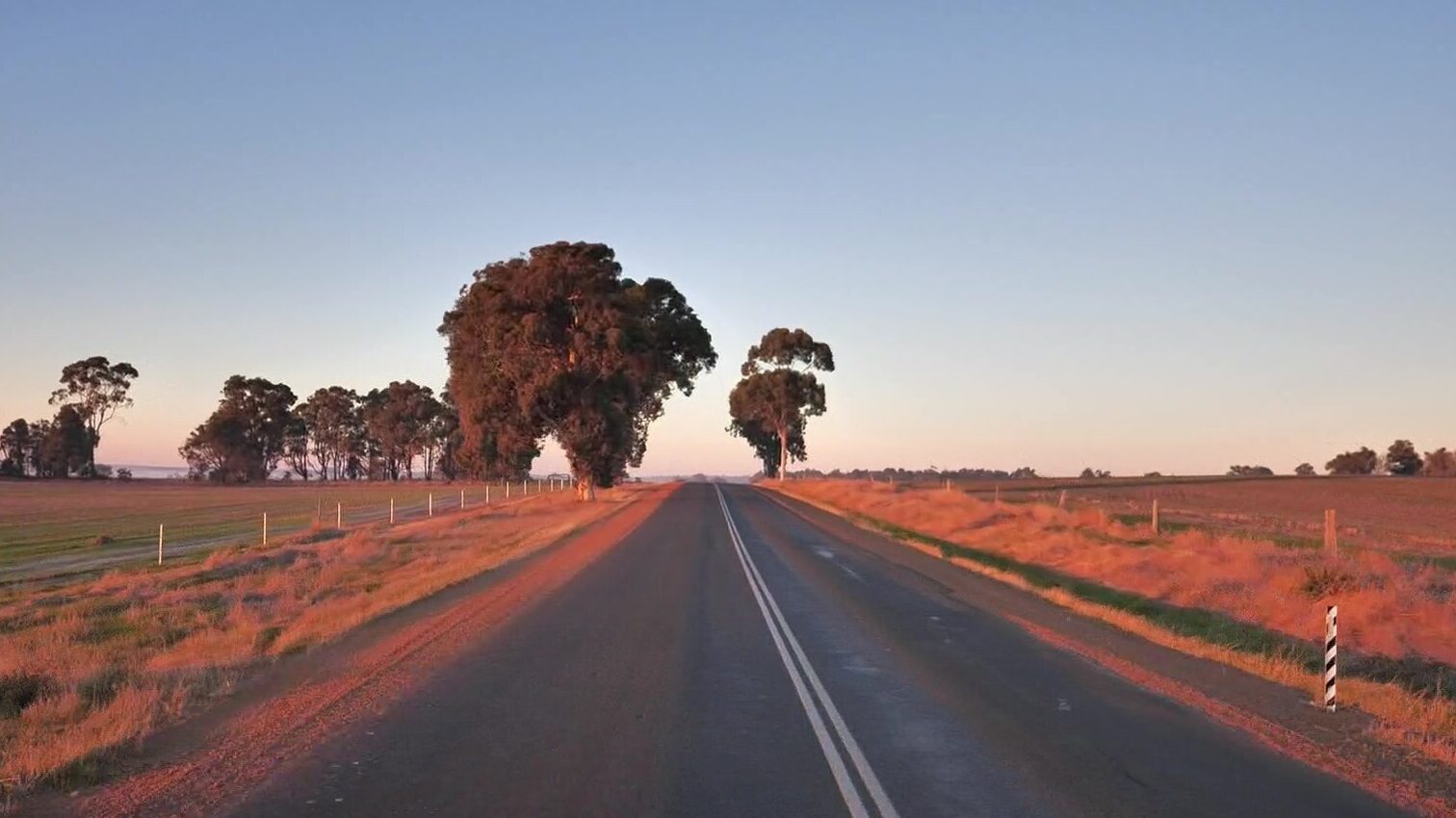
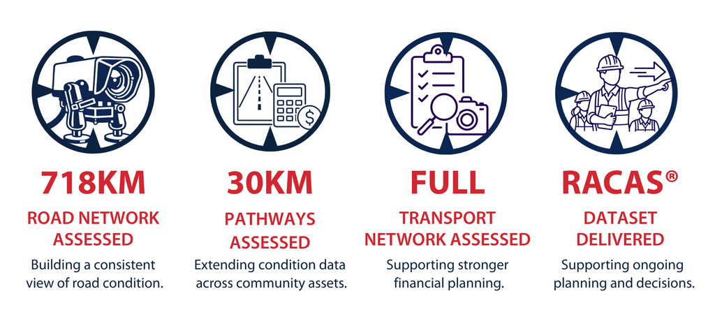
Greenfield collected 5,201 km of road data using the RACAS® Midline Camera.
SHEPHERD used the RACAS® data to defect log the network and build pavement, surface and drainage condition indices in accordance with the WALGA Condition Assessment Guide.
The RACAS® unit captured data every 10 m, including:
- 4K high-definition imagery
- GPS geo-tagging
- Relative International Roughness Index
- Gradient, speed and altitude
Defect and condition information was then used to support reporting, data outputs and mapping in line with the project specification.
SHEPHERD also hosted the data in dedicated RACAS® Hub sites for each council, as well as a collective Hub site for WALGA.
What We Did Differently and Why It Mattered
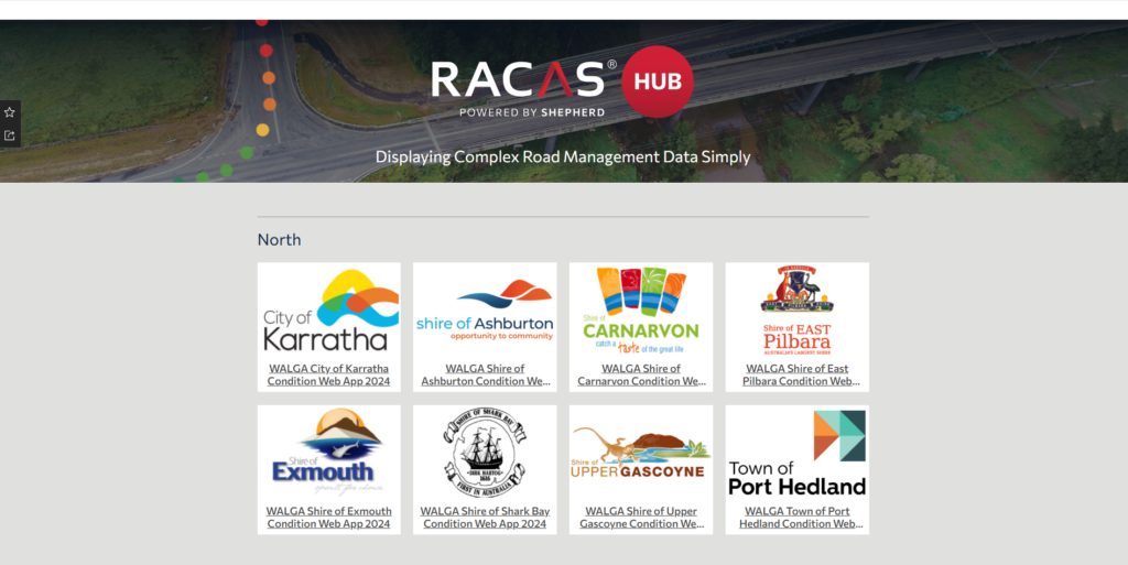
SHEPHERD helped bring mobile road data capture and WALGA condition assessment requirements together in one practical workflow.
By combining RACAS® imagery, defect logging and condition indices, councils gained a clearer view of some of the most remote roads in the network. The Hub sites also made the information easier to access, review and share across multiple local government areas.
This was particularly important for remote community access roads and Roads of Regional Significance, where strong evidence can support future planning, maintenance prioritisation and funding discussions.
The project also demonstrated the strength of SHEPHERD’s GIS team, who designed and replicated data sharing and security across eight LGAs within a single project.
Delivered in Partnership
Thank you to Greenfield Technical Services and WALGA for the opportunity to support this regional road condition survey.
This work provides councils across the Pilbara and Gascoyne regions with more consistent data and imagery to support decisions about remote roads, regional access and future investment.