Following the South Australia Severe Weather and Flood event commencing February 2026, Flinders Ranges Council engaged SHEPHERD to support road damage inspection, assessment and preparation of a Form 2 submission. By combining rapid field capture, GIS-enabled systems and RACAS® Hub, SHEPHERD is helping Council assess damage across its road network while retaining valuable asset data for future planning.
The Challenge
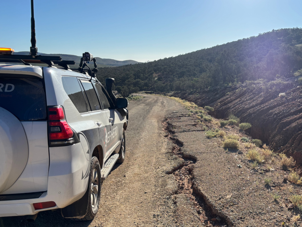
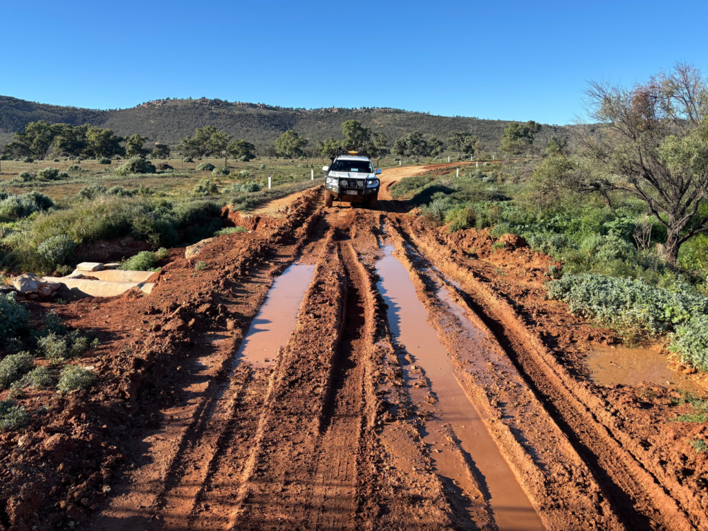
The declared flood event caused damage to both pavements and drainage structures across Council’s road network. Council required a timely and defensible assessment process to support disaster recovery funding requirements and preparation of a Form 2 submission, while also ensuring the information captured could be retained and used beyond the immediate recovery program.
In addition to preparing evidence for disaster recovery funding, Council wanted to improve its understanding of road assets, drainage structures and network condition to support better asset management into the future.
The Solution
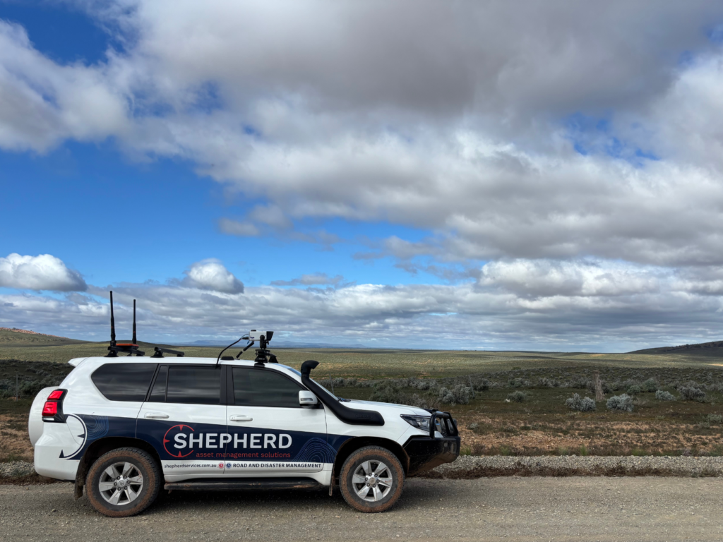
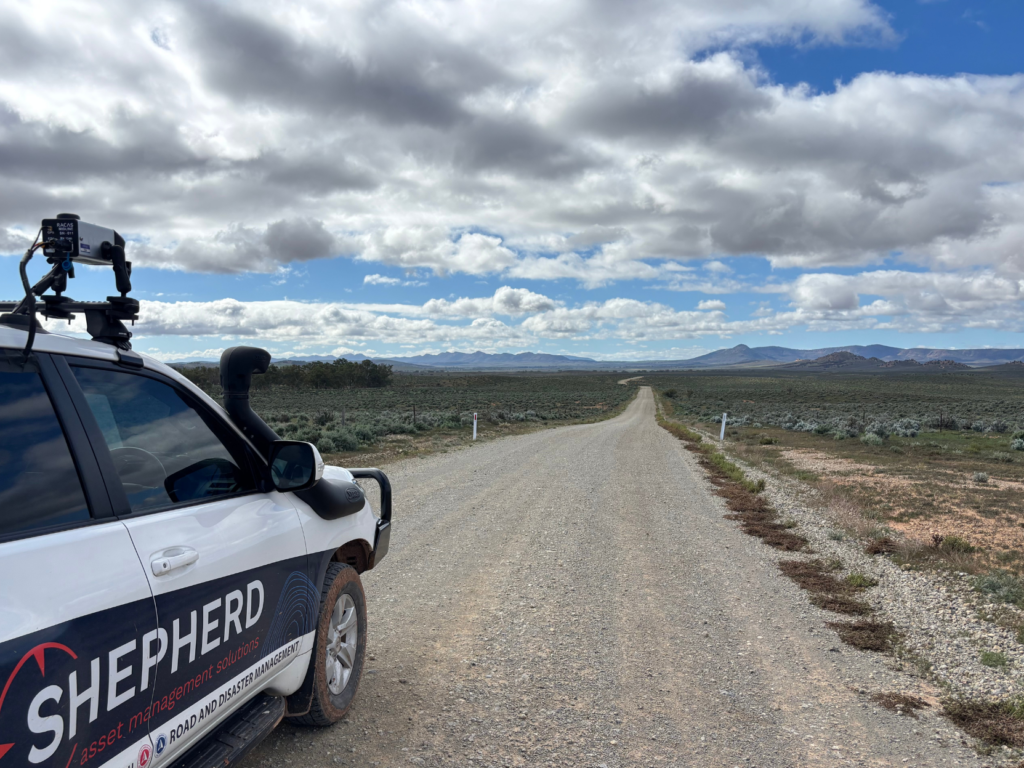
SHEPHERD was engaged to undertake road damage inspection and engineering assessment across approximately 1,000 km of Council’s road network.
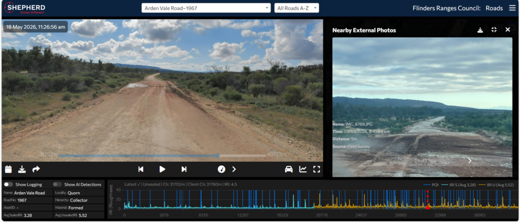
Using RACAS® and GIS-enabled systems, SHEPHERD captured and assessed road condition, logged flood-related damage and supported preparation of the Form 2 submission to the South Australian Department of Treasury and Finance.
Key services delivered include:
- Road damage inspection and assessment across approximately 1,000 km of Council road network.
- Flood restoration damage logging to support disaster recovery assessment and Form 2 submission preparation.
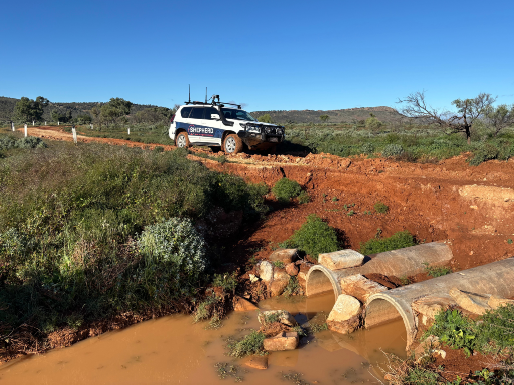
- Identification of 93 culverts and drainage structures for inclusion in Council’s asset register.
- Use of rapid Point of Interest identification to support reconnaissance and emergency response planning.
- Integration of Council-supplied damage images into RACAS® Hub to assist road asset damage assessments.
- Updated GIS information for road segments, condition and supporting asset data.
What We Did Differently and Why It Mattered
Rather than treating the assessment as a one-off disaster recovery exercise, SHEPHERD helped Council capture information that can continue to provide value after the funding submission process.
Council-supplied damage images were added into RACAS® Hub, allowing assessment information, visual evidence and road asset data to be brought together in one place. This supported a more efficient review process and provided Council with a clearer record of damage, location and condition.
The identification of 93 culverts and drainage structures also created a valuable asset management outcome. These assets can now be added to Council’s asset register, improving future visibility of drainage infrastructure across the network.
By using proven GIS-enabled systems and RACAS®, SHEPHERD helped minimise risk, improve evidence quality and support a timely, cost-efficient submission process.
Delivered in Partnership
This project marks SHEPHERD’s first DRFA project in South Australia and reflects the growing role of data-led recovery support across regional councils.
Thank you to Flinders Ranges Council for their collaborative approach throughout the assessment process. The work will support Council’s Form 2 submission to the South Australian Department of Treasury and Finance and provide the community with a clearer pathway toward recovery, restoration and improved long-term asset management.
“When a 300mm+ rainfall event, more than our annual rainfall experienced across 3 days, damaged our entire 1,200km unsealed road network – Council quickly became aware that we would qualify for Disaster Recovery Funding Arrangements.
The effort to produce documentation to support our claim would be as much an administrative hurdle as the actual road repair work would be.
SHEPHERD’s experience in documenting road damage by GPS location and photographic evidence, providing suitable remediation solutions with repair costs using approved unit rates quickly enabled Council to quantify and support its claim.
This enabled Council to begin negotiations for grant funding and activate repair work for the community as soon as practical after the disaster event.
SHEPHERD’s years of experience working through this process, which occurs more frequently in Queensland than it does in South Australia, was a tremendous advantage.”
— Kristen Clark, Acting Chief Executive Officer, Flinders Ranges Council