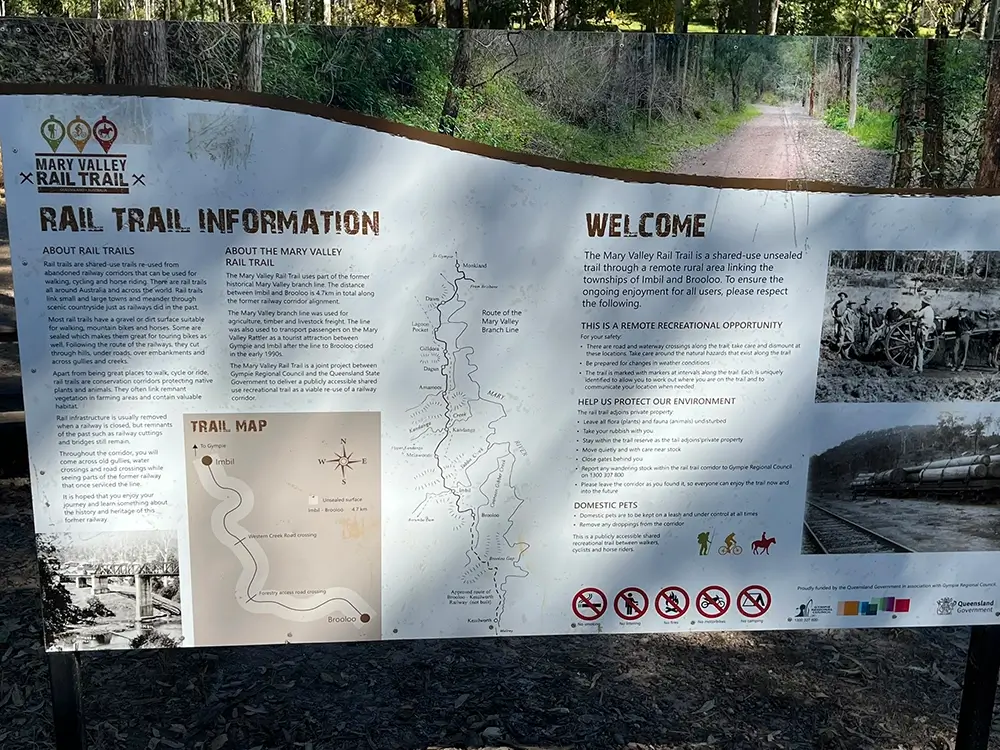
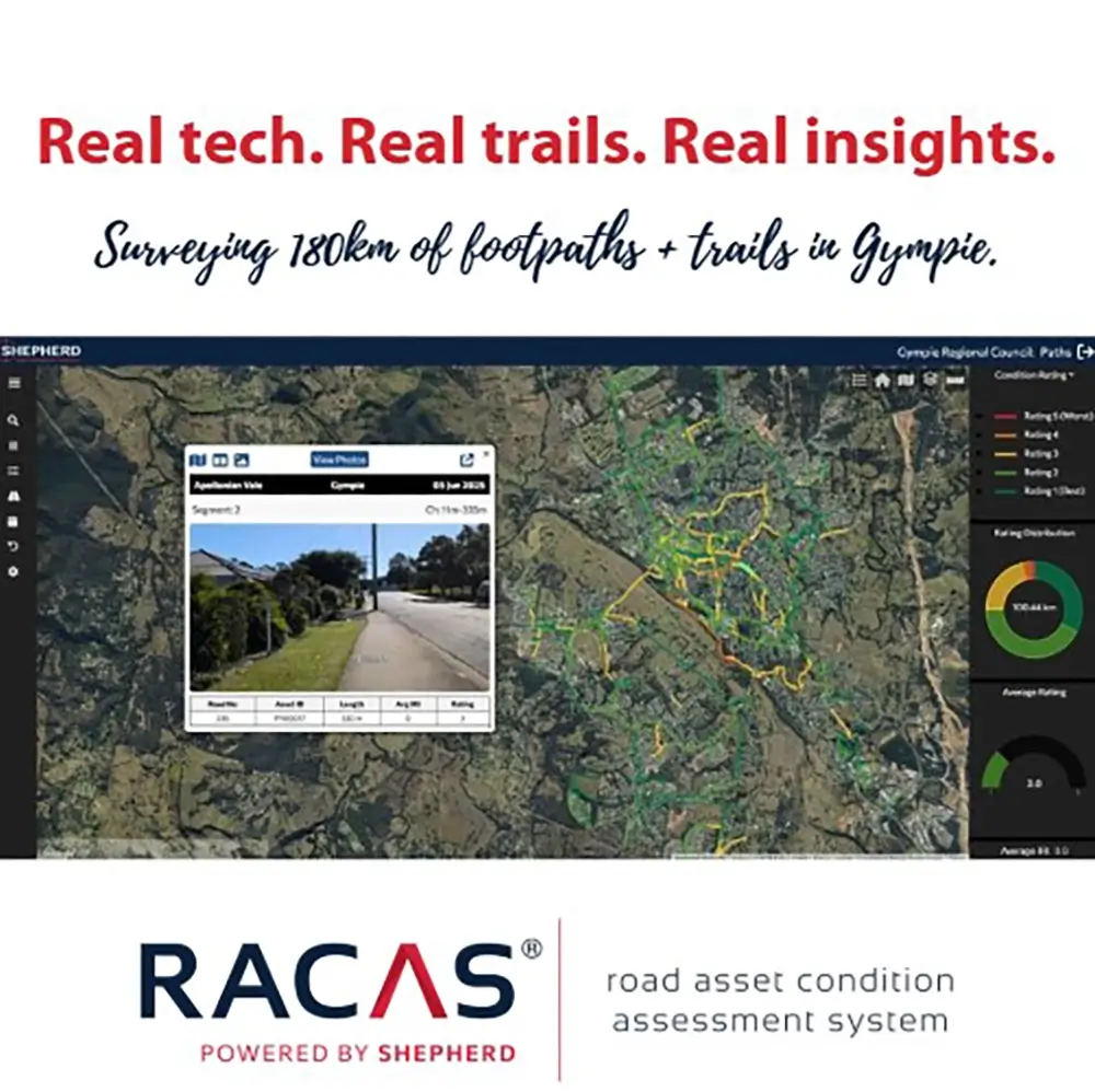
Gympie Regional Council now has a complete, up-to-date view of its footpath and shared trail network thanks to a RACAS® Mobile survey by SHEPHERD. For the first time, the full 180 km network was captured and assessed, including historic rural trails like the 46 km Kilkivan to Murgon Rail Trail.
The Challenge
Footpaths, cycleways and shared trails are critical for local mobility, tourism and community safety. But Gympie had never undertaken a complete, condition-based survey of these assets. Without consistent data, it was difficult for Council to prioritise works or plan long-term upgrades.
The Solution
SHEPHERD deployed RACAS® Mobile to capture the full footpath network, combining visual inspection, geospatial mapping and same-day data uploads to the RACAS® Hub. Key project outcomes included:
- 180 km of footpaths and trails surveyed
- High-use regional links and historic rail trails included
- Real-time condition data provided for maintenance planning
- Prioritisation support for short- and long-term investments
What We Did Differently and Why It Mattered
Gympie is one of the first councils to apply RACAS® Mobile at scale to off-road networks. This approach enabled fast, lightweight capture while maintaining consistent, high-quality data standards.
Team members Jetaime and Jodie covered the entire 46 km Kilkivan to Murgon section together. Jetaime on the RACAS® eBike and Jodie providing mobile support. All data was uploaded same-day, giving Council near real-time visibility of the network’s condition.
Delivered in Partnership
Thanks to the Gympie Regional Council team for their trust and collaboration. This project strengthens the region’s ability to support active transport, local tourism, and safe access across both urban and rural communities.